Friday, March 31, 2023

Final Days at Zion

The Riverside trail is mostly paved and hugs
the Virgin River, sometimes along the cliff and
other times right next to the river,

We watched several groups of 
hikers wade up the Narrows, most
of them with guides.

We walked up the official trail and then on the way back took the sandy path along the river when it was available. The weather stayed nice that morning although it was too early for the sun to make it down to us

As we expected the weather changed over our last two days. On Wednesday we started out with clear skies very early. After full city buses and long line at the Zion shuttle the day before, we decided to go up to the Zion Lodge and have breakfast. And it was an excellent breakfast, a buffet with tons of choices. We lingered over our coffee but still were ahead of the crowds on the Riverside trail. We did this one our first afternoon but so late we didn't finish it. This time we enjoyed the full length and spent time watching the intrepid hikers head up the Narrows in the freezing water.

Taking a break next to the river. 

There were a lot of families here this week, not
sure why. But this little fellow had a tiring day
but a good place to take a nap,

The cliffs go straight up from the
path, Here water seeps out from the
rock


We were back at Baby in time for a late lunch and some errands in town. Well, at least we planned to finish them in town. But no one there could fill or exchange our propane tank, so we had to drive to Hurricane, 20 miles away to do it. The scenery was nice along the way with a lot of big expensive homes. The sky had clouded up with light showers. We also filled up our refrigerator at several stores. As usual, we won't go hungry.

Thursday morning looking back at Baby & Junior (black truck),

The Temple of Shinawava shuttle stop in the snow.

Looking out our window at Zion Lodge

Scott at our table for lunch at Zion lodge
That night it poured most of the evening and it was socked in that Thursday morning. Clouds hung around the mountains. It was so atmospheric we decided to take the shuttle up and around the valley to admire it. As we headed up the mountain the showers turned into hail and then snow. At the last stop we got out to take photos but it was freezing so we hopped back on the down shuttle. The bus stops at every station and at #6 Zion Lodge it came to a halt. Our driver informed us that the shuttles coming up the mountain were unable to continue past #3 due to icing on the road. We would be stuck on the bus for some indeterminate time. Well, it was cold and crowded, so we promptly exited and headed for the restaurant. Just in time because everyone else got the same idea over the next hour. We were comfortable and happy having first coffee and then when lunch service began, an excellent lunch. Downstairs in the lobby every surface was covered with people waiting for the shuttles to begin again. And they did after an hour or so, gradually. 
The view from the Zion Lodge shuttle stop as we headed down finally.

Scott took this atmospheric shot of the old cottonwood in front of the Lodge

And this one of the distant mountains appearing through the mist,.

That evening we treated ourselves to another meal out, at Oscar's CafĂ©, highly rated on TripAdvisor. And it may be nice sometimes but didn't work for us. It's set up for nice weather with mostly outdoor seating (under heaters but everyone there was in their parkas and hats!). We sat inside but it was cold and so was our food. It's a Mexican/Southwestern restaurant so we ordered Margaritas. I didn't read the fine print - white wine Margaritas! Yiech! They only serve wine and beer, I switched to wine. It took me a while back at our RV to warm up. 

This morning we head off to Bryce and wish us good luck. The weather report says a high of 35 and a low of 9 - but mostly sunny. Neighbors said there is so much snow you can only see the top of the hand rails.

Thursday, March 30, 2023

Zion, With Lots of Pictures


One of the many S curves on the Zion - Mount Carmel Highway

We managed to pull over here for a photo.

We tried to leave Page, AZ early for Zion but forgot that once we crossed the state line into Utah, the clock "sprung" ahead an hour. We were anxious to get in a hike that afternoon as the weather report showed rain 2 days ahead, But we hadn't realized that our route would take us on the Zion - Mount Carmel Highway and through the famous 1.1 mile tunnel. Work on the road began in 1927 and finished in 1930. Vehicles over 11.33 feet in height and/or 7.83 in width need to have a special permit as the road must be closed to allow one way traffic to pass through the tunnel. It costs $15 and is issued at the entrance. Baby just exceeded the width requirement so we waited a while until they stopped traffic coming our way and then we proceeded right down the middle.  That was an adventure!


As you can see these goats were not timid!

This is the spot where we found the goats and were able to walk down to the river.

The road itself is glorious with many pull outs to view the scenery. Unfortunately it was a beautiful clear day and there were lots of tourists. We found only a few spots big enough to pull over, but they were wonderful. In one we enjoyed our lunch with an amazing view. At another stop we encountered a band of goats. They were not shy of us but we kept our distance. I had once been butted painfully by one on a small island in the Caribbean and didn't want a repeat.

All the waterfalls were full from the
past week of rain.

This was our first hike up the Riverside Trail
quite late in the day.
But we still managed to get settled in our beautiful RV Park, Zion Canyon RV Resort just outside the park boundaries in time to return for a hike. We took the free Springdale shuttle to the parking lot at the Visitor's Center and then the free shuttle that runs up the Zion Canyon. It takes about 45 minutes to arrive at the last stop, the Temple of Sinawava, the beginning of the Riverside trail. I had read the park map but remembered incorrectly that this was 1.2 miles round trip. We thought that would be perfect as it was already 4:30 PM. But after a half hour of hiking it was clear that I was wrong and it was much longer, so we turned around. But it was so beautiful that we vowed to return and finish the hike into the Narrows another time. In fact we hiked this trail and the Narrows thirty years ago with Scott's brother and his, at that time, partner Katie, but we barely remembered the trip. The weather was very different then, as it was August!
Another view on the Riverside trail which parallels the Virgin River and ends at the Narrows - although we didn't get that far this evening.

We did however get close up and personal with 
some mule deer!
Our RV site was right on the river with a view of the mountains so we enjoyed our drinks outside before moving inside for dinner. It turns cold here as soon as the sun goes down. We got an early start the next morning but even so, the first 2 City shuttles were full, so we ended up walking the 1/2 mile to the Visitor's Center and the Zion shuttle. There were a lot of people ahead of us there but the line moved quickly. Unfortunately when we departed the bus at the Zion Lodge, I forgot my gloves! Despite checking the lost and found several times over the next few days, they were never turned in and I had to buy new ones. 

Our hike this day was the Lower Emerald Pool trail and it was amazing. The crowds were a huge surprise to us though. We thought, being March, that there would few people, but there were lots, particularly tons of families and school groups. But there are a lot of trails. so often we had them to ourselves, at least for awhile. 
The Emerald Pools trail starts by crossing the 
Virgin River,

It climbs up but gradually and was wide,
happily because sometimes it got crowded.

Looking down at the Virgin River from the trail.

Scott looks back just as we start under the 
waterfall

Now we're through the waterfall.

Looking up the valley

Enjoying our drinks at our RV site!

The trail ends at a spectacular waterfall where you can walk behind the falls! We stopped to enjoy the views and take photos, so it was well past lunchtime when we returned. Our RV site is so lovely we just went back and hung out there for the rest of the day. At 5 PM Scott built a fire and we had our drinks and dinner in the last of the sun. 
Scott takes some amazing photos
of birds and other wildlife.

Ice crystals form beneath the waterfall

Heather underneath the waterfall in full regalia,
minus gloves.


That's our Baby and Junior in the center at our site in Zion Canyon RV Resort. The Virgin 
River runs behind us.

Monday, March 27, 2023

Glen Canyon Dam, Lake Powell and Navajo National Monument

The view from the Visitor's Center of the Glen Canyon Dam and Bridge

Another view from further down the Lake Shore Drive looking back. The water level in Lake Powell is only just above the intake to the Power Plant. If it goes down any further, electricity production will cease.  If it continued down, the River would run dry.

 Our next two days in Page were busy but more varied. Page was originally built as a company town for the construction of the Glen Canyon Dam. Chosen as the dam location on the Colorado after intense debate over locations for this second dam on the Colorado after Hoover Dam, it was originally far away from any recent civilization. It's a long Wikipedia article folks, but quite interesting.

Looking down the Colorado River from the bridge.

Navajo Mountain rises up from the plain to 10,000 feet. 

The Visitor's Center is large and museum like with lots of information about the history, construction of the dam and the environment. It also provides a great view of the dam and the river. We walked over the bridge both ways to enjoy the views also. Then we drove down the Lake Shore Drive into National Glen Canyon Recreational Area, which contains the Wahweap Marina, RV Campground and the Lake Powell Resort. At this time of year the Marina appeared to be unused, and the hotel restaurants weren't open other than for hotel guests (not many) for dinner. But we liked the Wahweap RV Campground with a variety of hookups, and like the Lees Campground (both recreation.gov), we'll plan to return. On the way back we also stopped into the Beehive Campground on the other side of Route 98. It had no hookups and a tight configuration of 6 campsites so not as attractive. 

The drive to the Navajo National Monument on Route 98 was very scenic with buttes and formations of all shapes and sizes. We loved this one but could only get a few photos as there weren't any pull offs on the road.

The sandal trail down to the view point to see the Betatakin "House Built on a Ledge" pueblo. That's me in the distance, easily visible in my bright pink parka. It was cold and windy. We wished we had gloves and hats!
The next day we went east, first to the Antelope Point to see the Marina there, the launching point, and the Campground. The campground was very nice but expensive at $70 per night - it's privately run unlike Lees and Wahweap. Then we stopped at the Antelope Lower Canyon Touring locations to check out the prices. At $70 a person for a 1.25 hour tour we decided it was too expensive (the Upper Canyon Tours are even more expensive). Maybe next year. We were off that day to the free and fascinating Navajo National Monument - about 1.5 hours away. The scenery was nice along the way and for a change, we were one of the very few people there!  What a contrast to the Horseshoe Bend National Monument. Of course, it's a long way from anywhere. Again we had driven up hill the whole way, it's at 7,500+ hundred feet and there was lots of snow everywhere. The temperature was 32 degrees mid day. 
Looking down the Canyon to the horizon near the end of the trail.

That's the niche in the wall where the pueblo lies. We were about 1/4 of a mile from the site. Scott
took a series of photos with his camera showing the pueblo that follows my text.

This National Monument was established in 1909 to protect 3 well preserved Cliff dwellings of the Ancestral Pueblo People, which were occupied from around 1250 to 1300 AD. Like the other sites we have been visiting, the reasons for it's abandonment are debatable.  The only trail open due to the snow was the Sandal Trail, 1.6 miles total, down to the view point to see the Betatakin "House Built on a Ledge, in Navajo" and then back up. The up part was tiring at that altitude but the views everywhere were worth it. We only wish that we had hats and gloves with us. We actually have gloves back at the RV and next time we will bring them. We tried to buy warm hats in Page but they were "out of season". Wow! The high here is 46 degrees! 

The trail was paved and could be
accessed by wheelchair (or 
stroller) and free of snow.

We loved the twisted trees that lined the path.


After a brief stop in the warm Visitor's Center to eat our lunch, we drove back to Page. Tomorrow we'll be driving north again to Zion National Park. Till my next post, good-bye

This series of photos shows ever closer views
of the pueblo.

There were 120 rooms at the time of the 
abandonment.

The buildings are built of sandstone, mud mortar
and wood.

This is the smaller of the two pueblos that you
can see now at the Monument. The larger one
requires a 7 mile hike with a Ranger guide.


Sunday, March 26, 2023

Back in the snow again! And Whoopsie Daisy

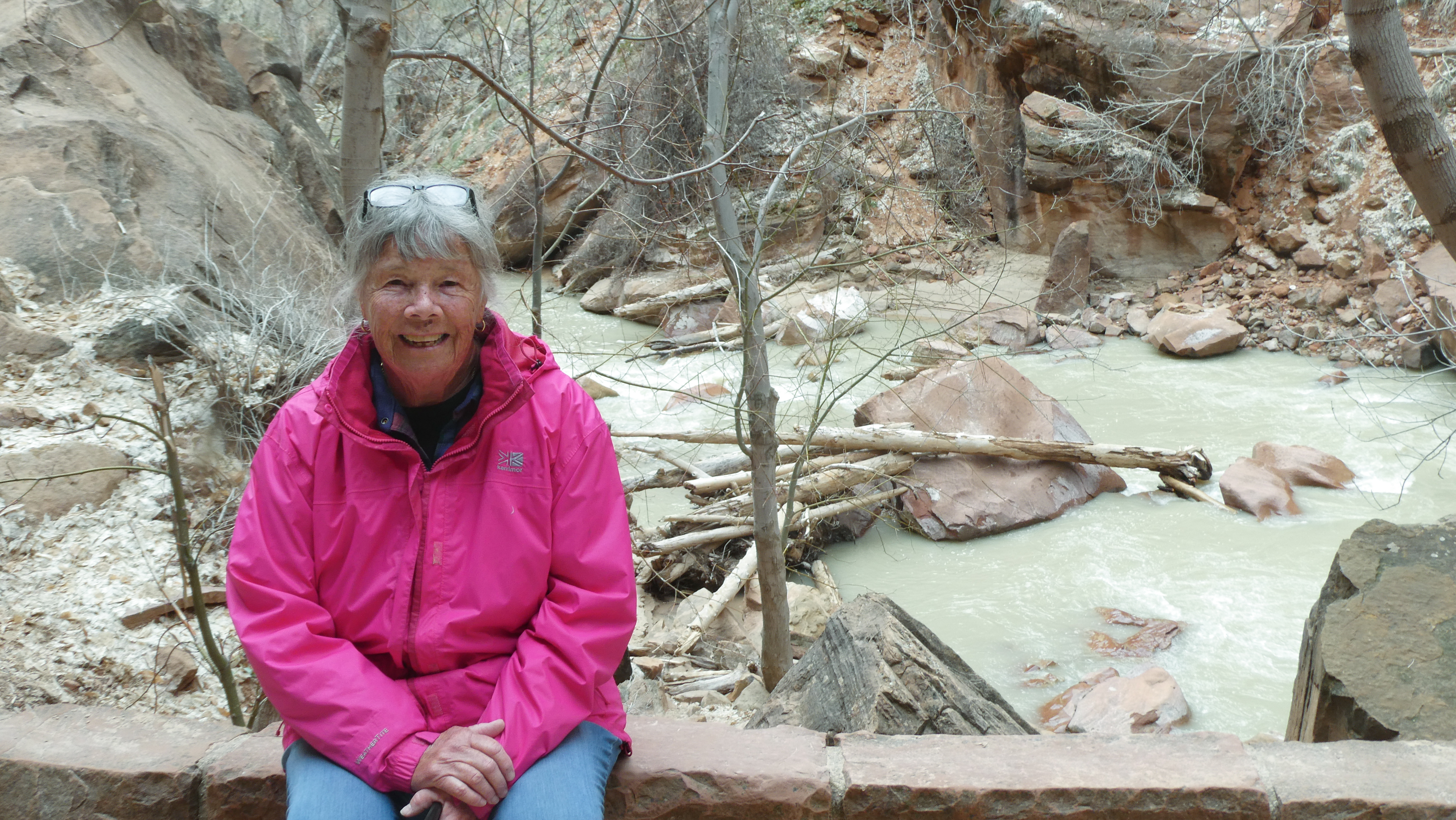
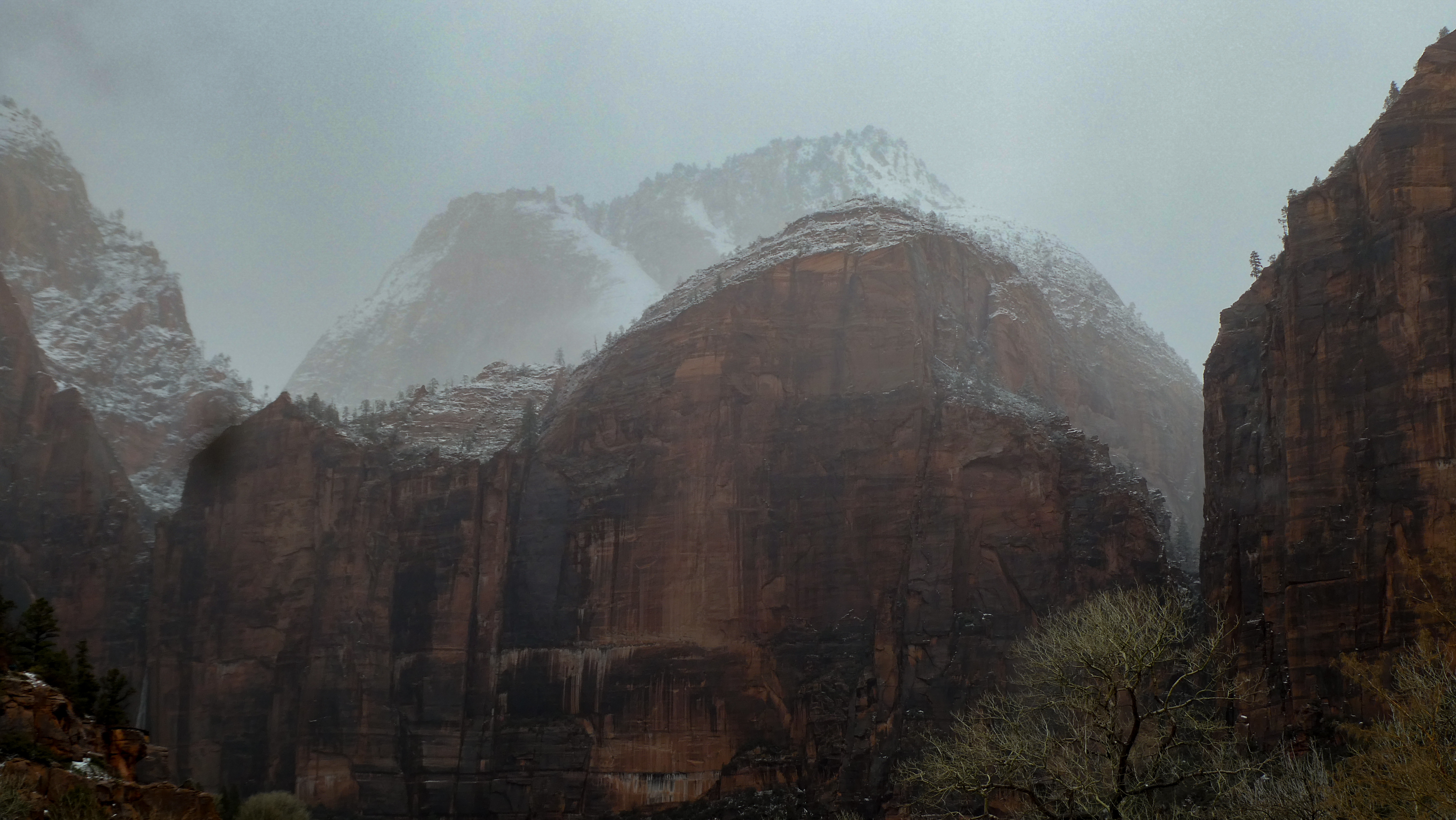
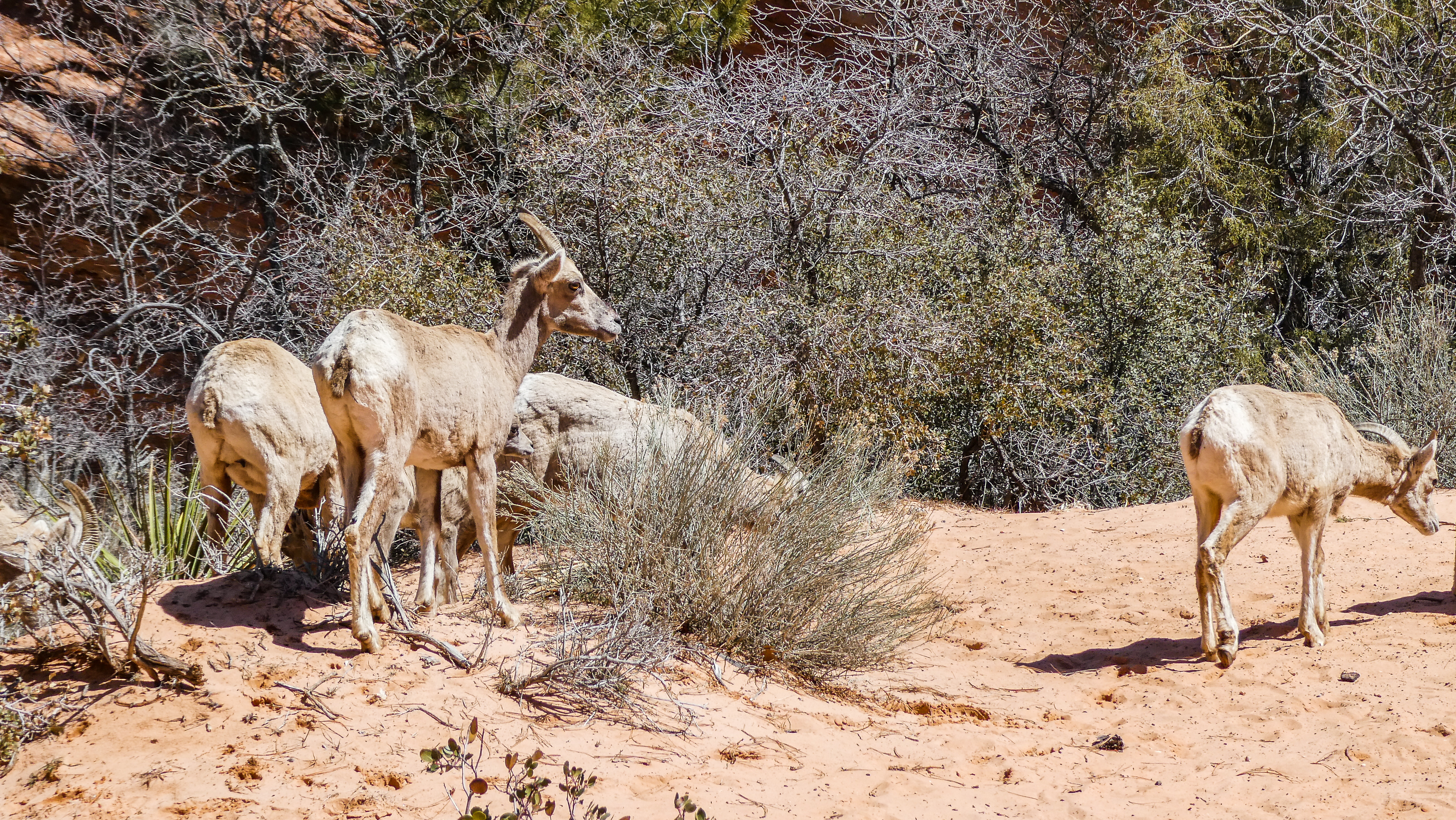
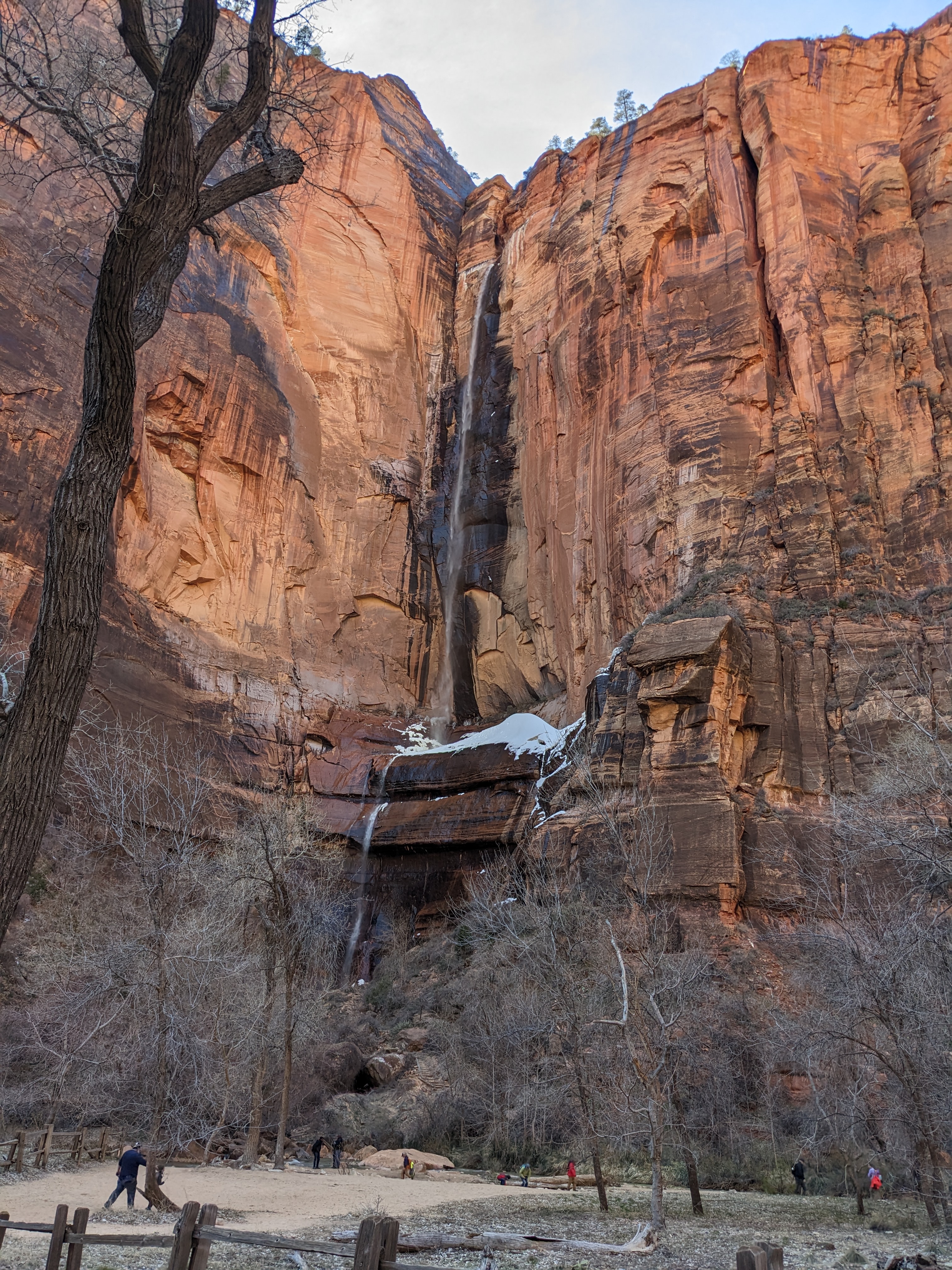
We changed our mind in Jacob Lake about
continuing on to Fredonia when we encountered
lots of snow again. 

But we warmed up nicely at the Jacob Lake
Inn and Restaurant with our waitress Kinsey!
And at her advice returned to Page the same way.


Our first full day in Page we decided to head west on the Vermillion Scenic Highway to Jacob Lake, Fredonia, Kanub (Utah) and back on Rt 98 to Page. The Google time was 3 1/2 hours so it seemed doable. But first we stopped at Horseshoe Bend where the Colorado River created a 1,000 ft deep, 270 degree horseshoe-shaped bend in Glen Canyon. For once the reality was every bit as amazing as the professional shots. I assumed the colors in the brochures were enhanced - no need to. It's an easy 1.5 mile trail in to the viewing spot and back We're glad we started early because it was pretty crowded. 


Looking down from the path that winds around to the viewing spot. 

A wide angle photo from the main viewing spot

Another shot of same

The rocks along the path down to the site

Scott and I next to the poster at the visitor's
center just before I lost it!

Now here comes the Whoopsie Daisy. We went over to use the Port o Potties before departing and I had the big set of keys in my pants pocket. In the process of using the facility the keys fell out and worst luck, down the hole!!! My exclamation wasn't as cute as the one used here! The truck was locked and the set of keys included our RV ones. We didn't have a spare with us. To say the least I was distraught and so of course, was Scott. A very nice couple immediately went to us and ended up staying there until the problem was resolved. At first I couldn't imagine how - but not far away was a helpful truck and driver - a pump out for the toilets. He jumped into action and pumped out the toilet, recovered our keys, cleaned them thoroughly and presented them back to us,, A real hero! 

Next we drove down the Vermillion Scenic Route (89A) which goes on to the North Rim of the Grand Canyon when it opens on May 1. Our first stop was the Lees Ferry Historic Site which put us right down at the river, the only place that the river was easily forded for hundreds of miles. The first Europeans to discover it were the members of the Dominguez-Escalante expedition, an attempt to find an overland route through the Southwest between Spanish settlements in present-day New Mexico and California in 1776. The history of that trip is amazing! During the 19th C it served as a gateway for the expansion of Mormons from Utah to new lands and one Mormon, John D Lee and his wife Emma (he had 19 wives at one time) built the first ferry there in 1870 which continued service until the bridge was built in 1928. Lee was a wanted murderer for his part in the Mountain Meadows Massacre and was caught and executed in 1877. We were delighted to tour the RV Camping Site there which had few campers and vowed to return next year and stay there. 

At the river where Lees Ferry used to be we found a group heading down the river through the Grand Canyon. Intrepid people at this time of year. Their food and belongings were all ready to be loaded up into the hand paddled rafts which you can see over on the left. They were small! In season this is a very busy place!

Looking up the river from the old bridge, which is now pedestrian only 

This is the new bridge, built in 1995. Both are called the Navajo Bridge.

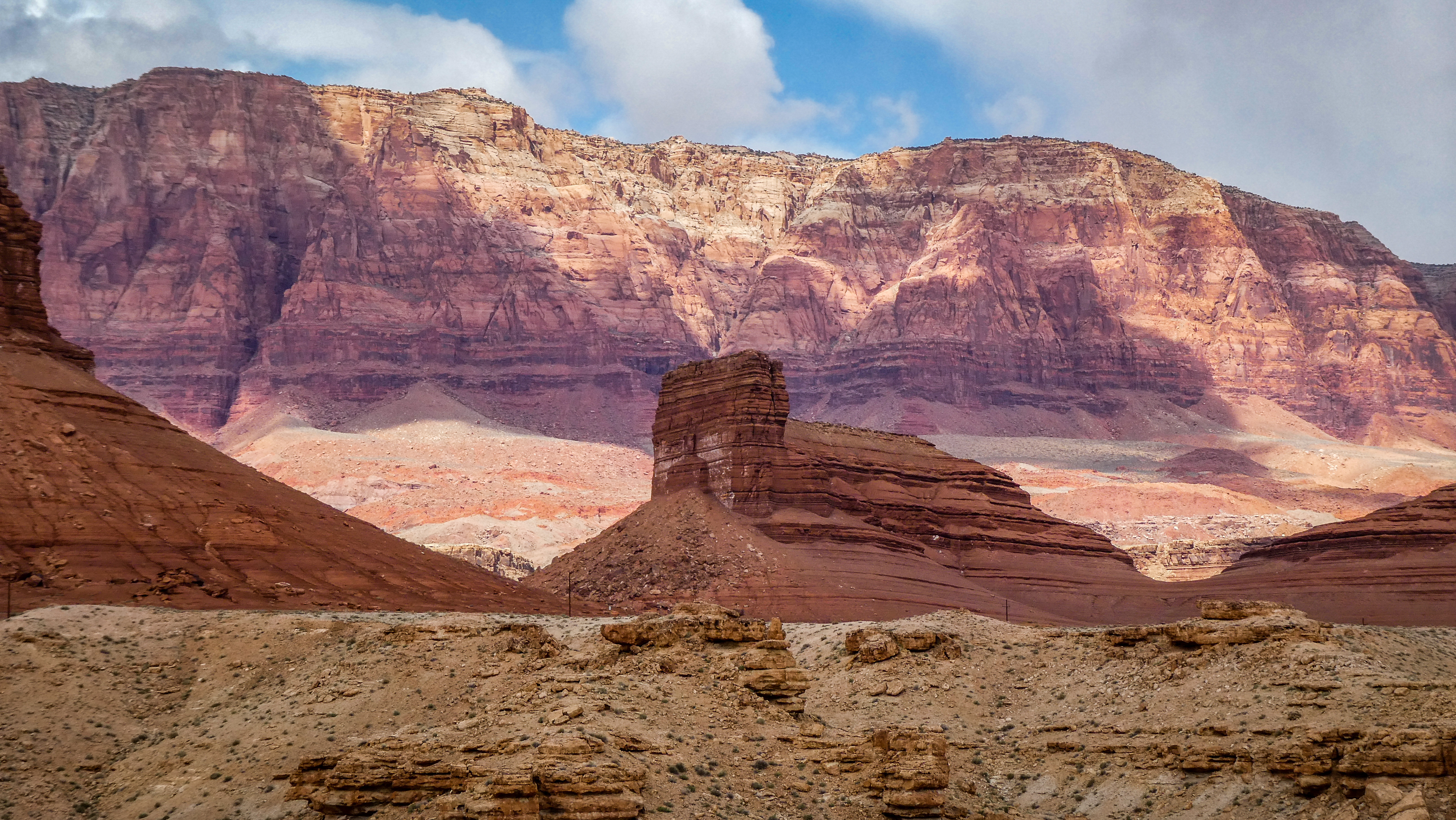
Our next drive was through the Vermillion Cliffs National Monument, a stunning multi colored line of cliffs stretching along Highway 89A. There were many historical markers and stops to take photos. We started out with beautiful weather as you can see from our photos but later in the day the wind picked enormously and showers followed by dust storms intermittently came down on us. Tumbleweeds raced ahead of us on the road. They are non-native (from Eurasia) and extremely invasive. For awhile we had a hard time closing our door (or holding on to it getting out). 

Vermillion Cliffs stretch for many miles along this scenic highway

There were many spots to pull over and marvel at the scenery - and of course, take photos.

But soon the road started climbing and at first bits of snow, then a light dusting, and finally heavy snow showed up. But the road was dry so we had no problem. At Jacob Lake we stopped at the gas station/hotel/restaurant for some lunch. It is in the process of renovation as this is a very slow time. They are on the junction of the road to the North Rim, which doesn't open until May 1 and at around 8,000 feet. They made us a good sandwich and we had a nice chat with the waitress Kinsey. She recommended we go back the same way we came as there wasn't much more to see and more miles continuing ahead. We loved the name Fredonia as it reminded us of the Marx Brothers movie "Duck Soup" (Freedonia in the film). Scott really regretted not seeing Truth and Consequences too!

One of the viewpoints on the road that climbed up to Jacob Lake - here looking back at the Vermillion Cliffs far away. 

It was an easy ride back to Page and we arrived back at 4 PM. We're staying at a private RV Park, Page Lake Powell Campground, right in town. We won't do that again. Some of the sites were nice but they put us over in Siberia with a view of the construction shed and rusty machinery. But Baby is nice and warm and I had a great meal planned: pork tenderloin with onions and ginger, with brown rice, spinach and cauliflower - enough to last us for 2 nights.  

Strange shaped rocks lined the 
bottom of the cliffs

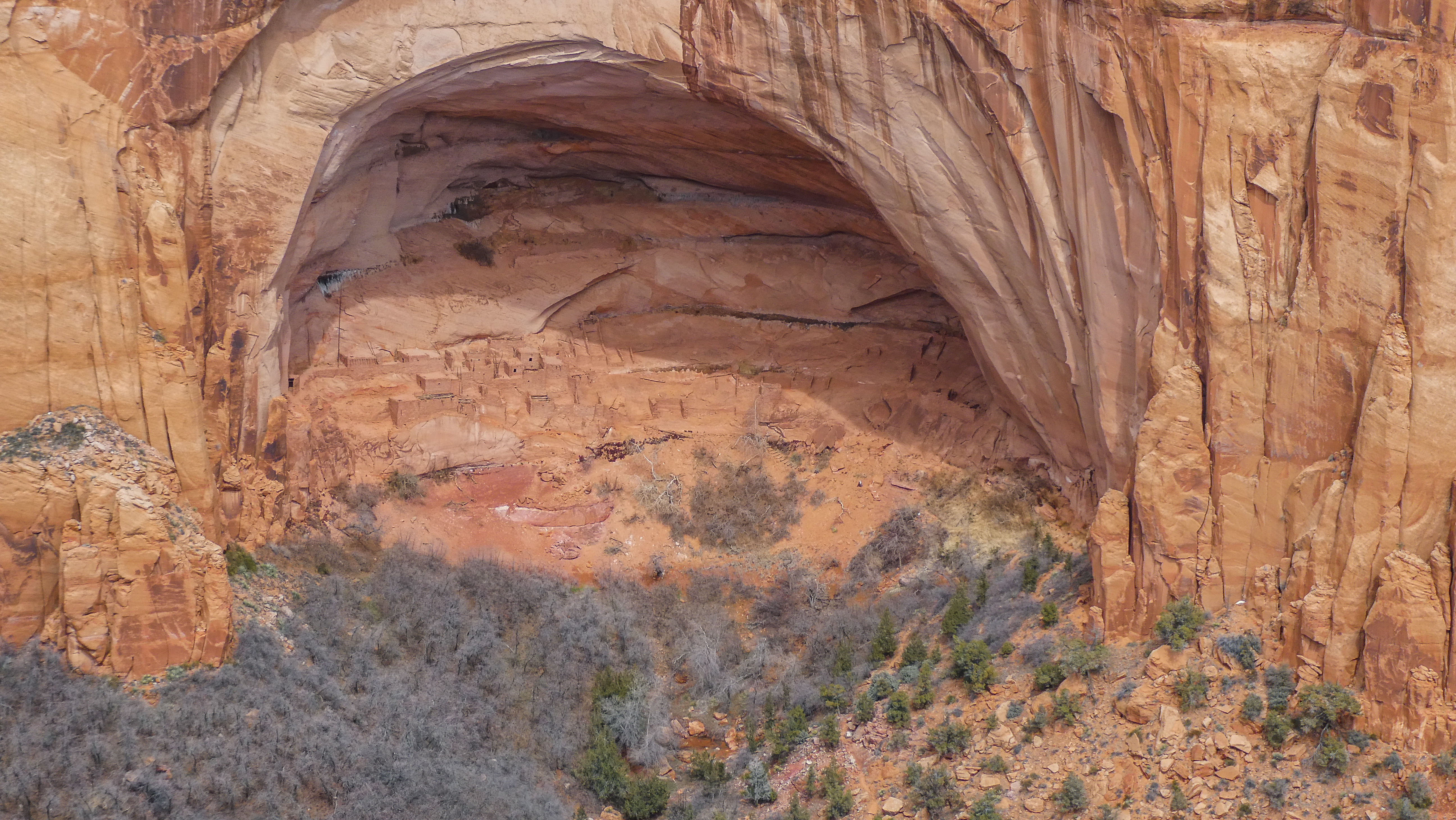
A few of them had rudimentary rooms built under
them to create a shelter.

A dust storm heads towards us.


Another shot from Horseshoe Bend but
looking down the Colorado River.